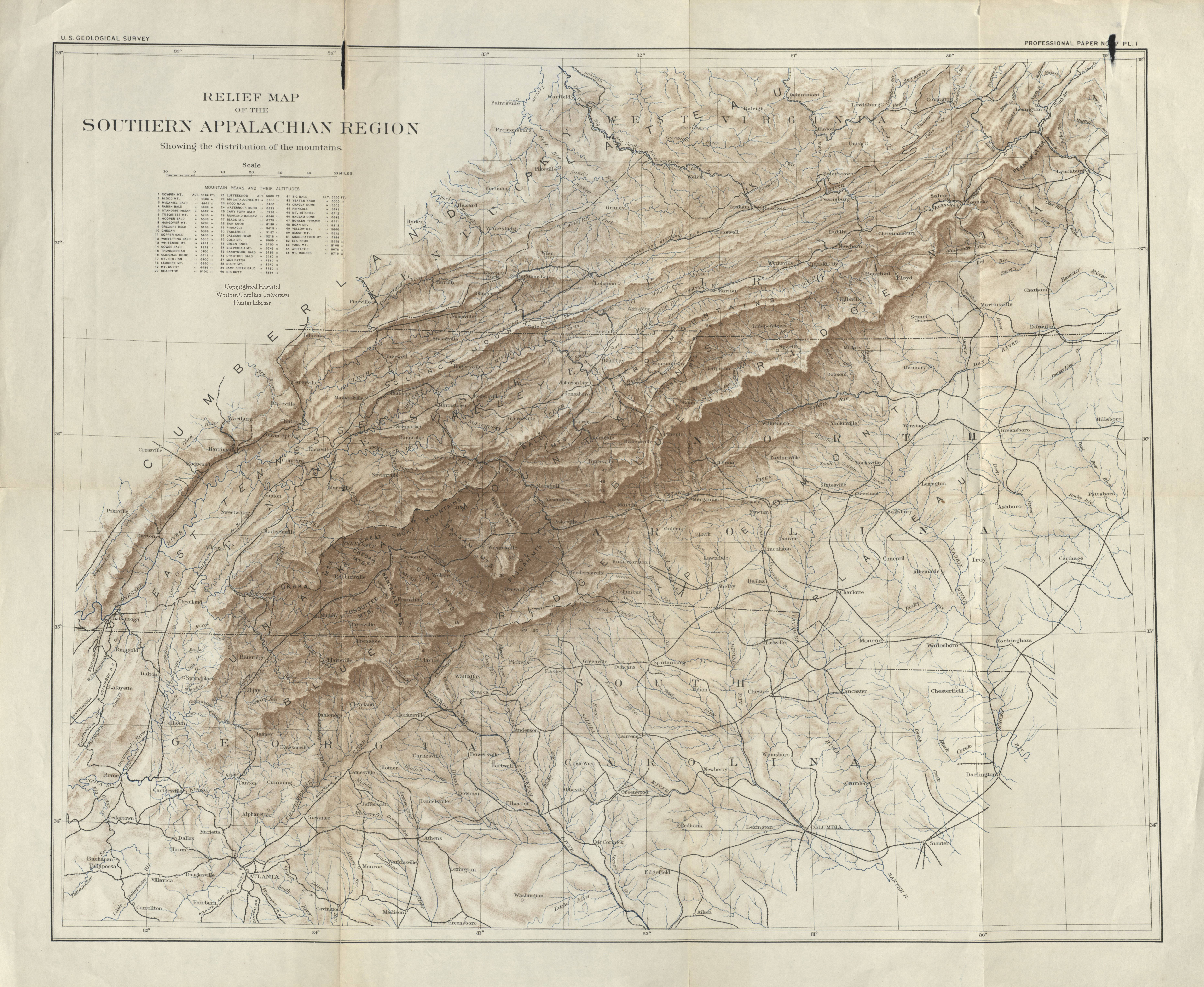
Check out the new digital collection, Western North Carolina Regional Maps. This collection allows you to view maps based on location or by type, such as road maps, topographic maps and plat maps. Maps in this collection span from the 1800s to the 1970s. The images can be downloaded, shared and used in publications, with permission. For information, contact Liz Skene, digital initiatives librarian, at emskene@wcu.edu
Leave a Reply